The General Collection
This collection consists of more than 1,000 maps covering a wide range of countries, focusing on Florida, the Caribbean, and Latin America. Florida maps document all areas of the state, with an emphasis on Miami, Miami Beach, and Coral Gables. The maps document a variety of subjects, including vegetation, population, soil, fishing, county borders and other topics. The Caribbean area includes more than 100 maps and views of Cuba.
The maps in this collection have been acquired through purchases or donations and is still being developed. Examples of notable maps include:
|
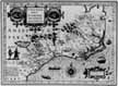
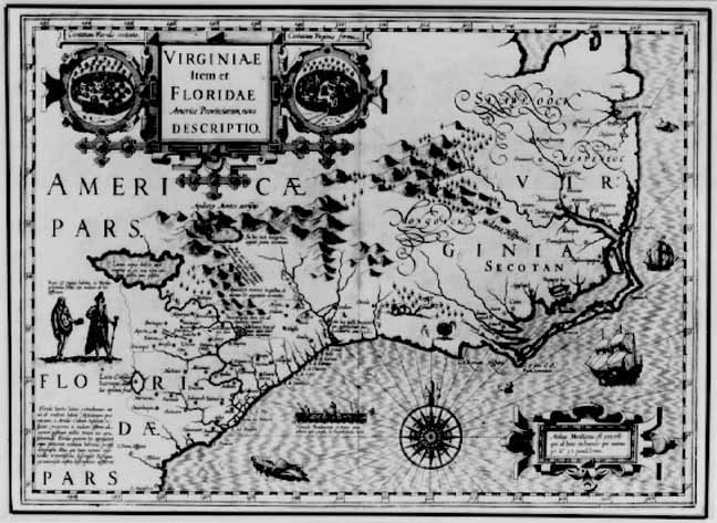
Gerard Mercator.
Virginiae item et Floridae Americae Provinciarum. [1607?].
Latin text on verso.
|
|
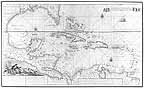
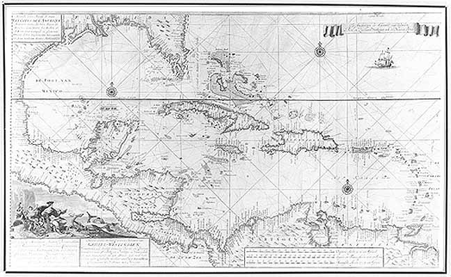
Gerard van Keulen
Nouvelle carte marine de toute les cotes de l'Amerique montrant toutes les isles, bayes et rivieres ... [17--].
Outlined in color.
|
|
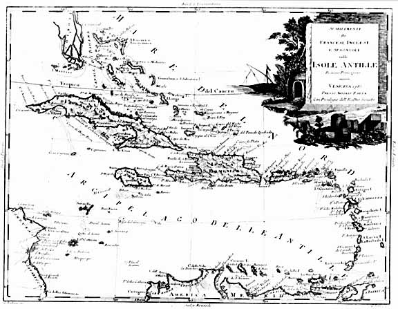
Antonio Zatta.
Stabilimenti de Francesi, Inglesi, e Spagnouoli nelle Isole Antille ... 1785.
Color.
|
|
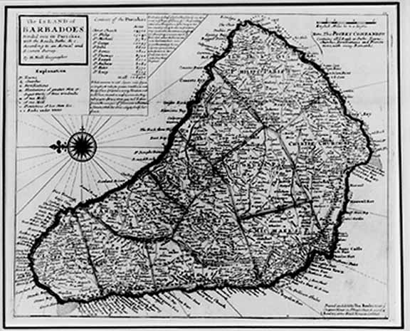
|
Herman Moll.
The Island of Barbadoes divided into its parishes ... [1729?]
Outlined in color.
|
|
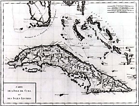
|
Edme Mentelle and Pierre Gregoire Chanlaire.
Carte de l'Isle de Cuba et des Isles Lucayes. [1807?]
Outlined in color.
|
|
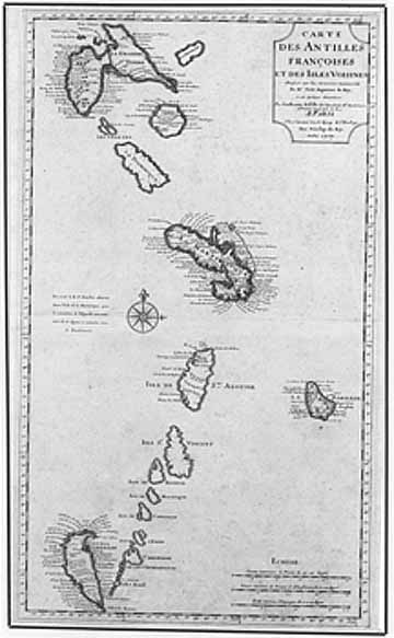
|
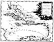
Guillaume de l'Isle.
Carte des Antilles Françoises et des isles voisines. [1718?].
The map shows the islands from Guadeloupe to Grenada including Barbados.
|
|
|
Kirkwood & Son.
West India Islands: Guadaloupe, Mariegalante &c., Antigua. [181-?].
Outlined in color.
|
|
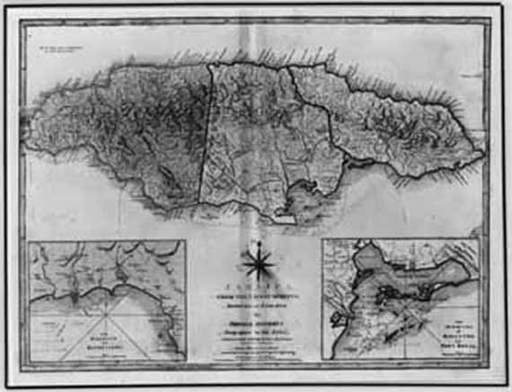
|
Thomas Jefferys.
Jamaica, from the latest surveys. 1794.
Color.
|
|
|
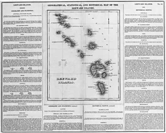
Joseph Yeager.
Leeward Islands. [182-].
Color.
|
|
|
Herman Moll.
The Island of St Christophers, alias St. Kitts. [1732?].
Outlined in color.
|
|
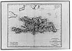
Jean Baptiste Poirson.
Carte de St. Domingue. 1803.
Outlined in color.
|
|
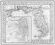
Samuel Augustus Mitchell.
County map of Florida. [1870].
Color.
|

