First Spanish Period
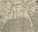
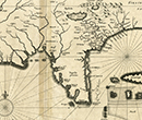
The first ten maps will not be limited to the area we now call Florida though they do show that area.
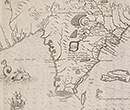
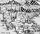
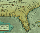
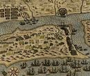
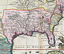
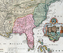
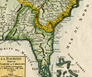
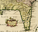
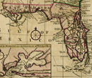
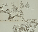
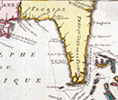
The next few maps from the late 1500s and later will mostly be images of the Florida area as we know it although they will not necessarily be accurate. However, they are well-known and popular collectors" items, and are the few available maps of Florida from this early period called the First Spanish Period (actually 1565-1763). Very few maps are available from the Spanish archives. Mapmakers from other nations continued to use the name Florida on regional maps and hemisphere maps but the exact size of the designated area was open to question or open to political expedience. Even though some of these maps are not limited to Florida as we know it, they are of interest because of the variations and reasons why the discrepancies existed.