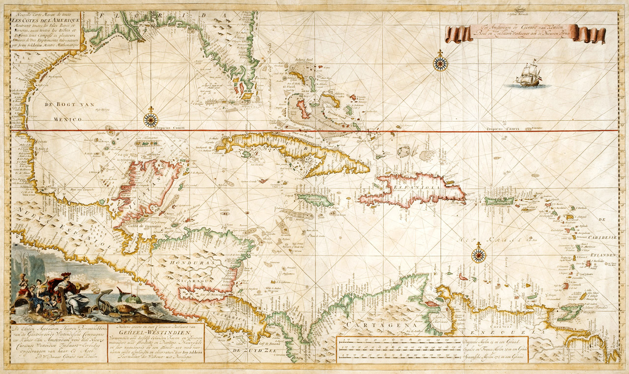
Nouvelle carte marine de toute les cotes de l'Amerique..., Amsterdam, ca. early 1700s.
Click image to enlarge.
By Van Keulen, Gerard (ca. 1678 - 1727).
Van Keulens rare map of the Caribbean, Central America, and Florida resembles a portolan chart, an early European navigation chart with rhumb lines that radiate from compass points or in the direction of the wind. The map features three compass roses, a decorative cartouche, a sailing ship, and very detailed information of the coasts; Florida, alone, has about fifty labels. The van Keulen family were notable sea chart publishers in the late seventeenth and eighteenth centuries.
From The Helen Carmichael Purdy Foundation.